
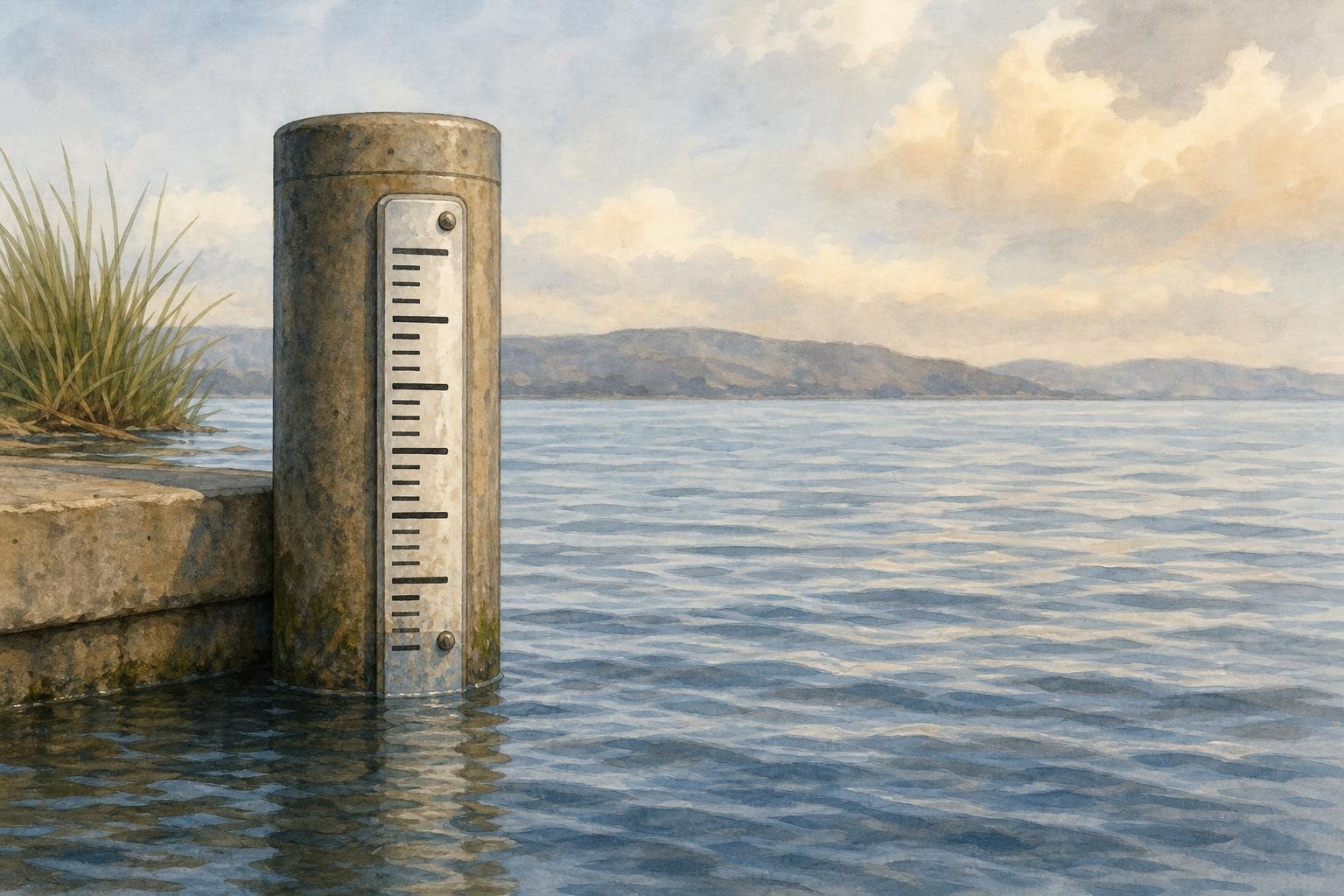
Federal scientists say a strong El Niño is very likely to persist through the end of 2026, raising the risk of unusually high water levels and flooding around the Bay Area.
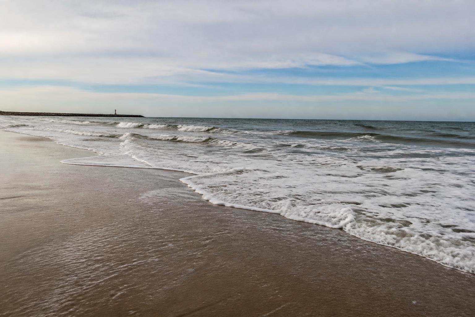
Forecasts cited Wednesday say the pattern is pushing a large mass of warm water toward California. That can temporarily lift sea levels by several inches, while Kelvin waves could add as much as 9 inches over days or weeks, climate scientist Daniel Swain said.
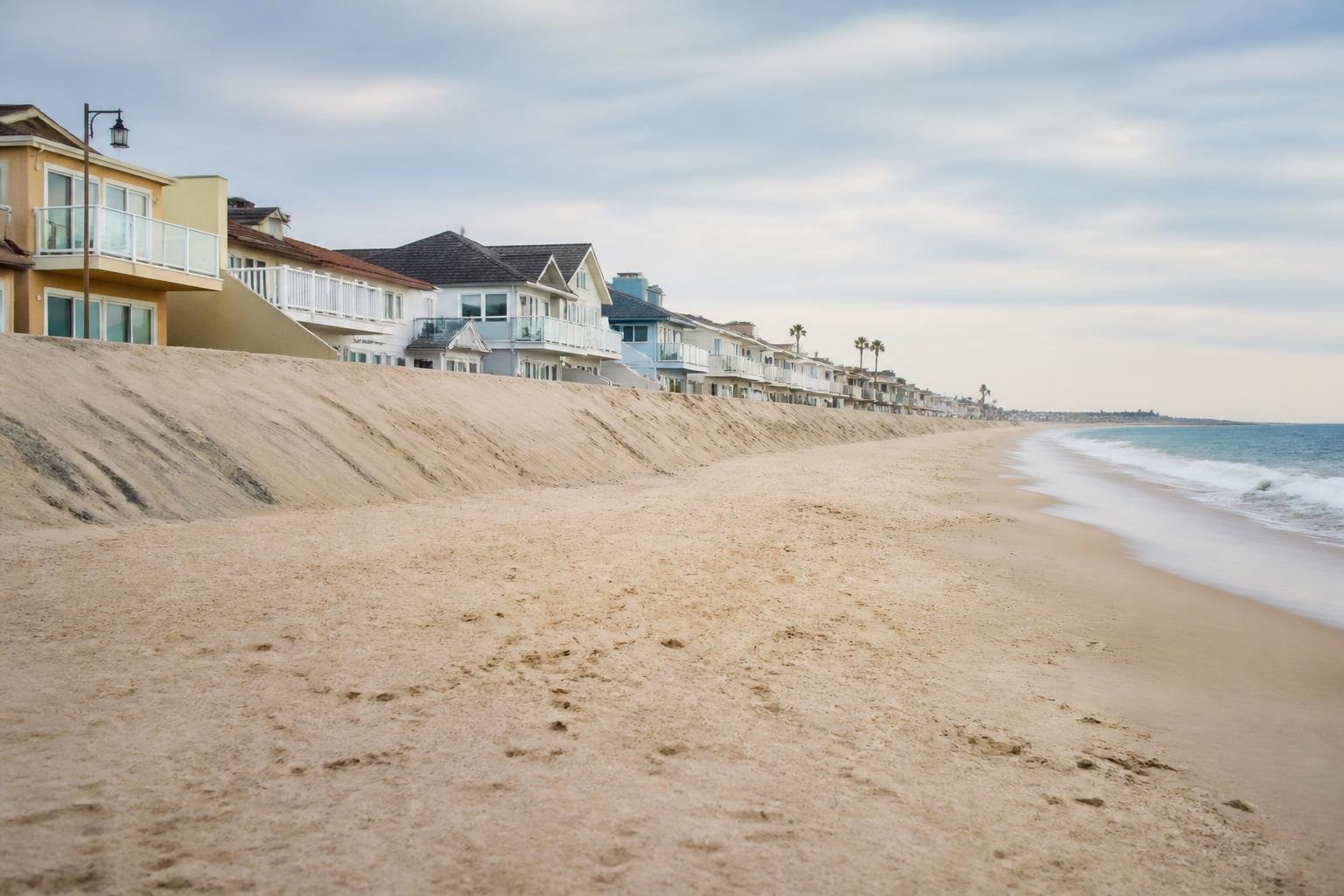
The flood threat could grow further when those effects combine with storm surge, pressure changes and December king tides, which are expected to be among the highest on record. Swain warned that some places could face record-breaking water levels, while local businesses near the bayfront are already weighing the risk after earlier flooding.










Please note! Comments are published by readers. The opinions expressed may not reflect the position of the editorial team. USCT is not responsible for the content of readers' opinions and asks authors to observe moral standards, not to incite national or racial hatred, and to avoid rudeness. Think before you speak. You are responsible for your words! By publishing an opinion, you agree to the rules! If this request is ignored, USCT reserves the right to deprive the user of the ability to leave comments.