
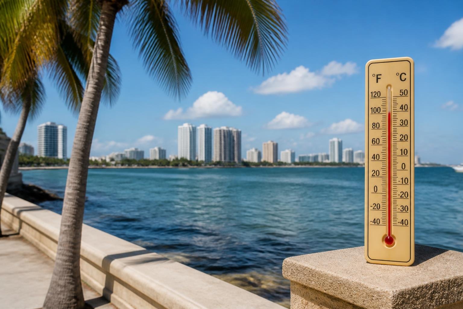
South Florida could see near-record heat Sunday, with highs in the low 90s across most locations and Miami especially close to a record. Humidity may push the heat index to 100–105°F.
Early rain is expected to fade around sunrise, leaving plenty of sunshine. A stray shower or thunderstorm is possible late in the day, though most activity is expected north and west of the area. Lighter southeast winds should keep the rip-current risk low.
A weak fall front is forecast to move in Monday, but highs should remain in the low 90s. An isolated afternoon shower or storm is possible, while most places are likely to stay dry. Midweek should bring lower humidity, sunshine and a 10–20% chance of rain, with highs in the upper 80s. Showers and humidity may return late in the week as moisture moves north.







Please note! Comments are published by readers. The opinions expressed may not reflect the position of the editorial team. USCT is not responsible for the content of readers' opinions and asks authors to observe moral standards, not to incite national or racial hatred, and to avoid rudeness. Think before you speak. You are responsible for your words! By publishing an opinion, you agree to the rules! If this request is ignored, USCT reserves the right to deprive the user of the ability to leave comments.