
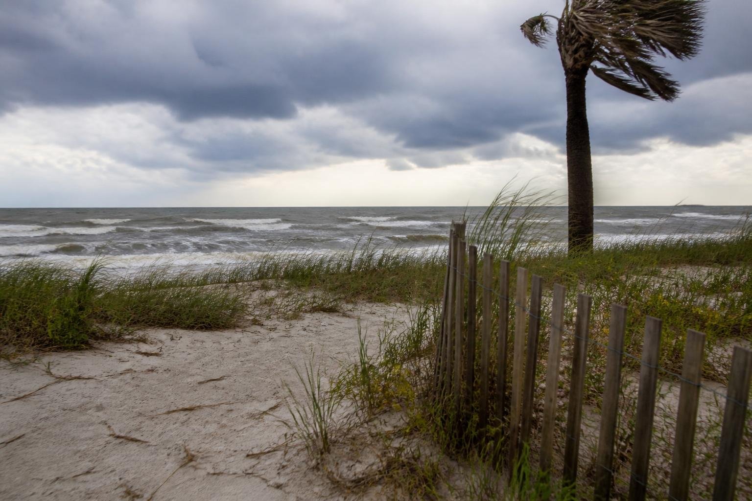
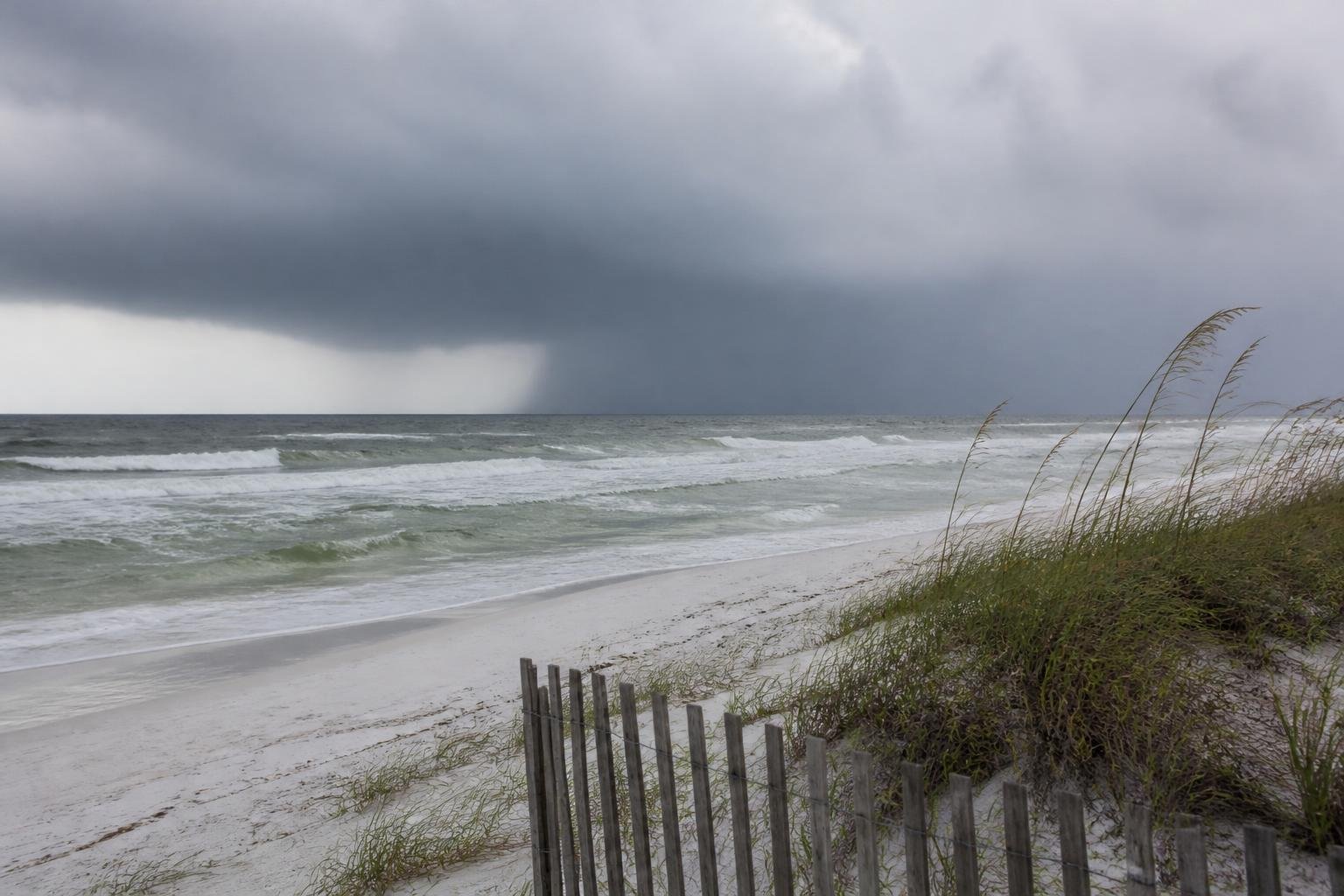
Hurricane Isaias could bring a storm surge of 5 to 7 feet to the coast between Ocean Springs, Mississippi, and Indian Pass, Florida, the National Hurricane Center forecasts.
The storm strengthened into a Category 1 hurricane late Wednesday. At 8 a.m. ET Thursday, it was in the central Gulf of Mexico, moving east-northeast at 9 mph. Forecasters expect it to turn northeast and strengthen, though it could weaken shortly before reaching the coast between Alabama and the Florida Panhandle.
Hurricane warnings run from Ocean Springs across Alabama to the Bay/Gulf County line in Florida. A storm surge warning stretches from the mouth of the Mississippi River to Steinhatchee, Florida. The hurricane center advised residents in surge-warning areas to follow local officials’ instructions and evacuate if told to do so.
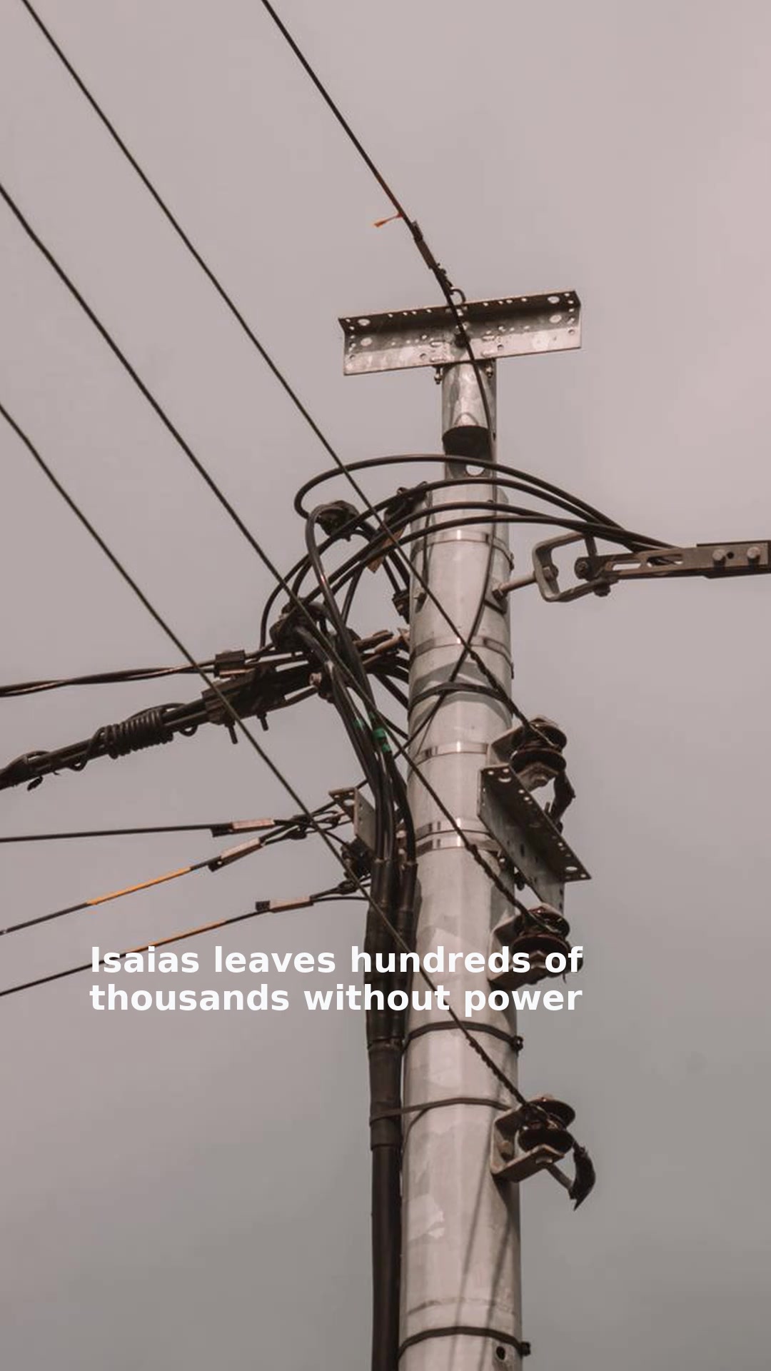
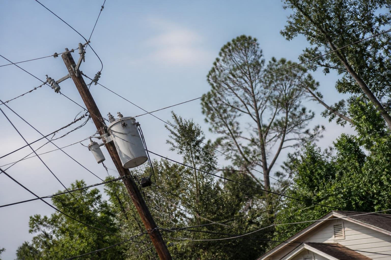
Isaias is also expected to bring damaging winds and heavy rain. Flash and urban flooding, as well as isolated river flooding, could occur across much of the Southeast. Residents in hurricane-warning areas should prepare for potentially prolonged power outages, the hurricane center said.












Please note! Comments are published by readers. The opinions expressed may not reflect the position of the editorial team. USCT is not responsible for the content of readers' opinions and asks authors to observe moral standards, not to incite national or racial hatred, and to avoid rudeness. Think before you speak. You are responsible for your words! By publishing an opinion, you agree to the rules! If this request is ignored, USCT reserves the right to deprive the user of the ability to leave comments.