
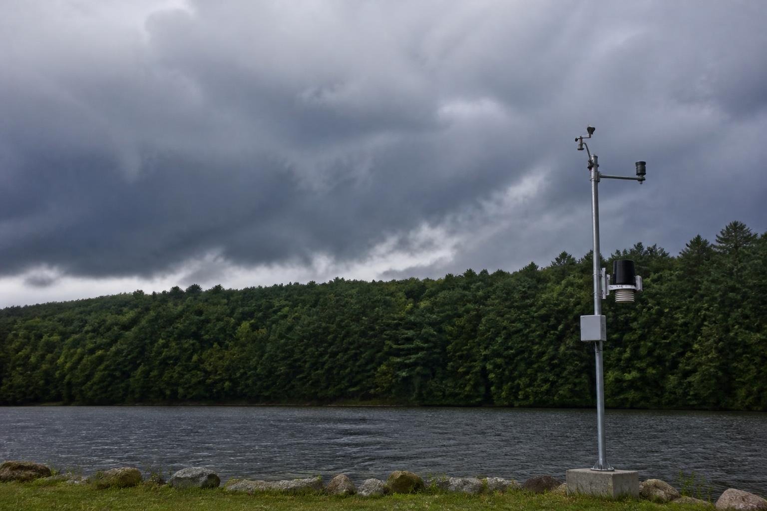
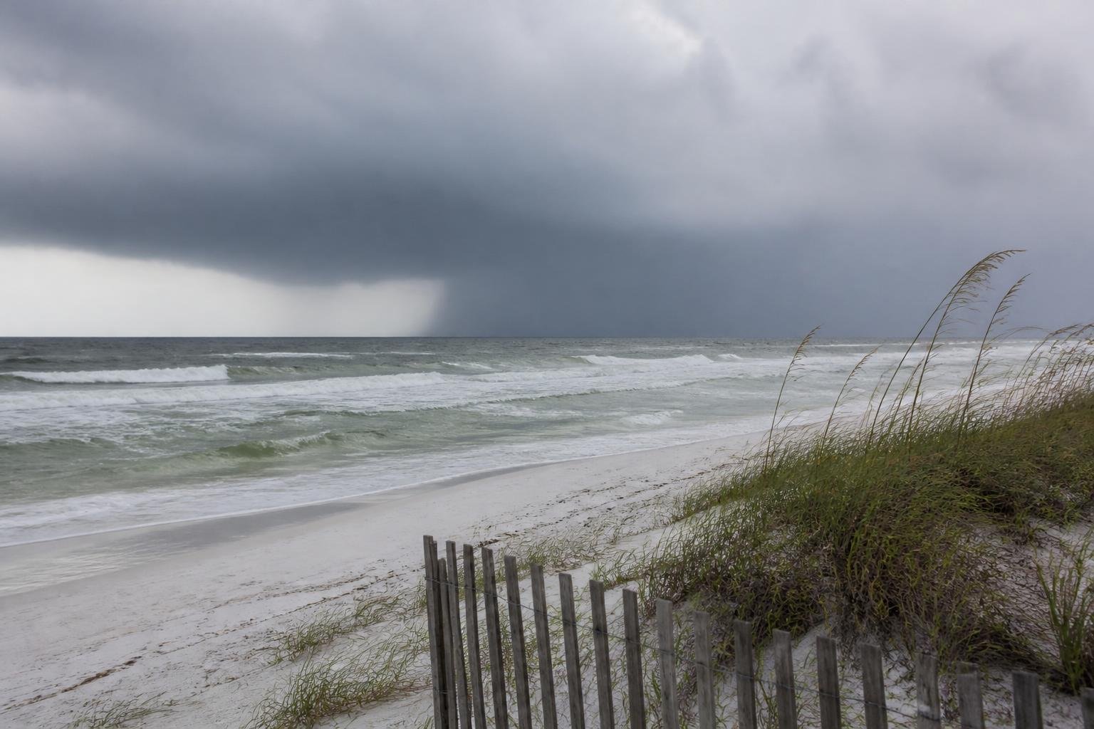
Hurricane Isaias reached Category 3 strength Friday morning, raising the prospect of dangerous conditions along the Gulf Coast and in Georgia this weekend.
Aircraft measurements showed sustained winds of 120 mph. Isaias was moving north-northeast at 15 mph, roughly 240 miles south of Pensacola, Florida. Forecasters expected it to reach shore near the Alabama-Florida border Friday night or early Saturday. It could weaken before landfall but still bring destructive winds and dangerous coastal flooding.
Georgia could face heavy rain, strong gusts and tornadoes without a direct hit. Showers were expected in metro Atlanta and North Georgia near or after sunset Friday, with conditions worsening around midnight and rain bands continuing Saturday.
A high wind watch covered much of North Georgia from early Saturday to early Sunday. Gusts could reach 50 mph, and rain-softened ground could make trees and power lines more vulnerable. Some areas could receive an inch of rain, while others could get 2 to 3 inches or more, posing a localized flood risk. Conditions were expected to improve Sunday morning.











Please note! Comments are published by readers. The opinions expressed may not reflect the position of the editorial team. USCT is not responsible for the content of readers' opinions and asks authors to observe moral standards, not to incite national or racial hatred, and to avoid rudeness. Think before you speak. You are responsible for your words! By publishing an opinion, you agree to the rules! If this request is ignored, USCT reserves the right to deprive the user of the ability to leave comments.